
Gambiaj.com – (BANJUL, The Gambia) – A new climate resilience assessment has warned that the main river landing areas across The Gambia suffer from weak infrastructure and face mounting flood risks, raising concerns about the country’s ambition to develop inland water transport along the Gambia River.
The study by the Global Center on Adaptation says that while the river holds significant potential to support trade, logistics, and connectivity, most landing sites remain poorly developed and highly vulnerable to climate-related hazards such as flooding, erosion, and changing river flows.
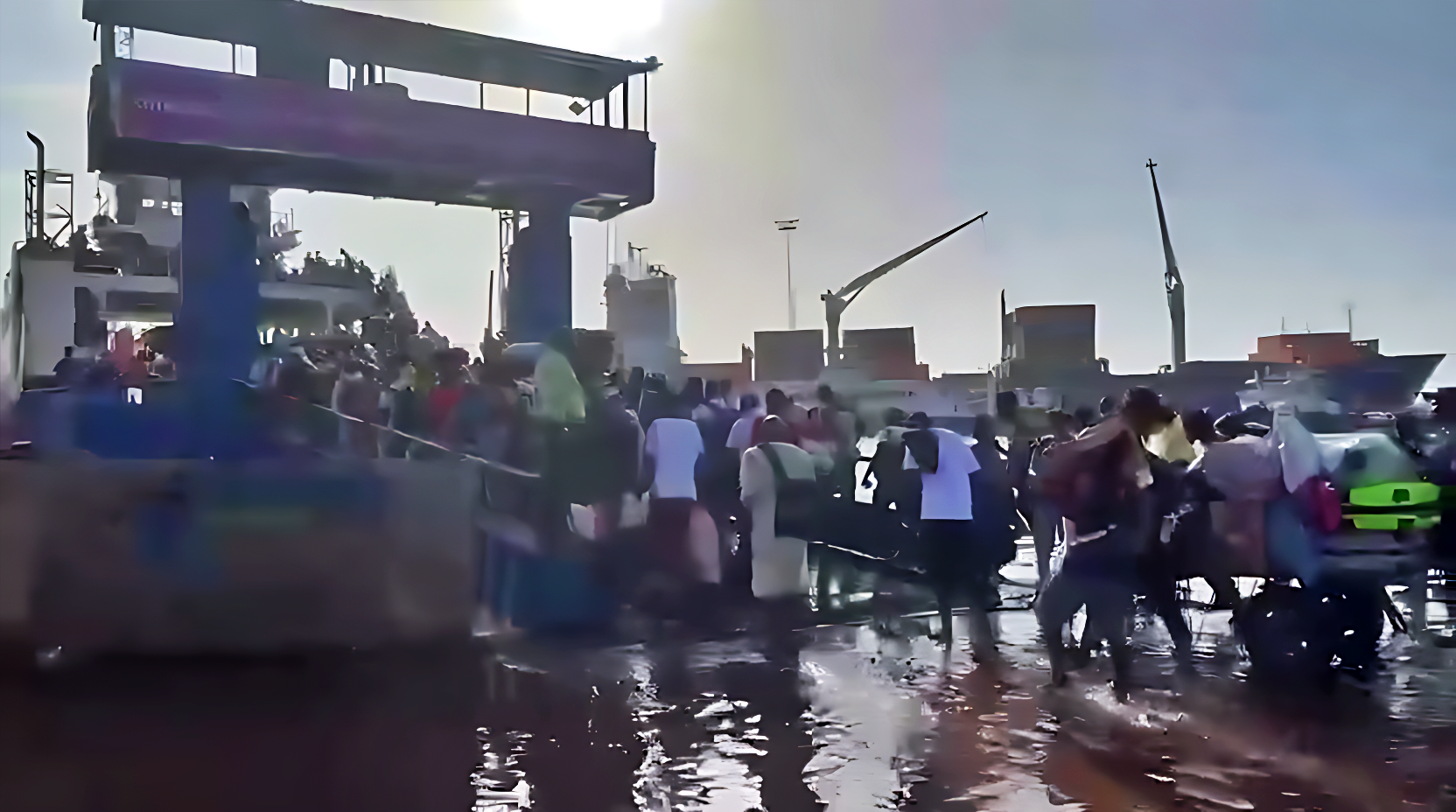
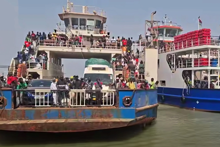
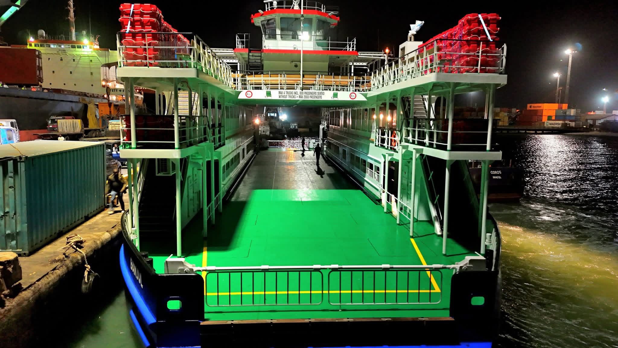
According to the report, inland water transport in The Gambia is currently limited mainly to ferry crossings, notably between Banjul and Barra, with almost no river-borne cargo traffic.
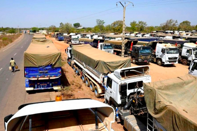
Instead, the country relies overwhelmingly on road transport to move goods inland from the Port of Banjul, which handles about 80 percent of national imports, including food and fuel.
The lack of adequate landing sites and supporting infrastructure along the river has turned what was historically a transport corridor into what the study describes as a “barrier” for inter-urban connectivity.
Landing sites exposed to serious flooding risks
The government and its development partners have identified several strategic locations for river transport upgrades, including Kaur, Basse, Bansang, and Farafenni, as well as smaller landing points such as Janjanbureh, Kuntaur, and Kerewan.
However, the assessment found that these key landing areas are already exposed to growing climate threats.
By 2050, the sites could experience a 20 percent increase in direct river flooding risks, with as much as 60 percent of the value of infrastructure assets potentially affected under severe climate scenarios.
The town of Basse is considered the most vulnerable location, where river and surface flooding could affect up to 90 percent of assets linked to port and landing infrastructure by mid-century.
Bansang is also expected to face extreme flood depths exceeding four meters during major flood events, while Kaur and Bansang could experience frequent flooding of more than two meters during relatively common river surges occurring once every five years.
These risks are compounded by the fact that flooding in riverine towns often spreads beyond the landing sites themselves, cutting off entire communities from the main road network and isolating populations from essential services.
Navigability Is Already Constrained
Beyond infrastructure weaknesses, the report warns that climate change could further undermine river navigation by altering water levels and rainfall patterns.
Seasonal fluctuations already affect navigability along the river, with low water levels during the dry season sometimes making certain stretches impassable for vessels.
Researchers say this problem is likely to worsen as long-term projections suggest declining discharge levels in the Gambia River basin.
Lower water levels reduce the depth available for vessels, making river transport unreliable and limiting its potential to support trade and passenger mobility in inland regions.
Strategic Sector Still Underdeveloped
Despite these challenges, the Gambian government has set a goal of increasing the river’s share of freight transport to about 30 percent in the medium term as part of efforts to diversify the transport system and reduce reliance on roads.
Achieving that target would require major investments in ports, jetties, and logistics systems, including upgrades to inland ports at Kaur and Basse and the creation of a multimodal logistics hub in Farafenni.
But the study warns that without integrating climate resilience into the design of these facilities, new infrastructure could quickly become vulnerable or even unusable.
“Without integrating climate resilience into asset design and hydrologic planning, investments risk being short-lived,” the report states.
Broader transport vulnerabilities
The report also highlights the wider fragility of The Gambia’s transport system, noting that flooding already disrupts access to markets, schools, and hospitals for large segments of the population during heavy rainfall events.
Rural regions are particularly affected because the country’s road network is limited and many feeder roads remain unpaved.
Researchers argue that a resilient inland water transport system could serve as an alternative lifeline during floods, helping communities maintain access to essential services when roads become impassable.
However, realizing that potential will depend heavily on upgrading landing infrastructure, strengthening regulatory frameworks, and incorporating climate-resilient engineering standards across the sector.


Leave a Reply