


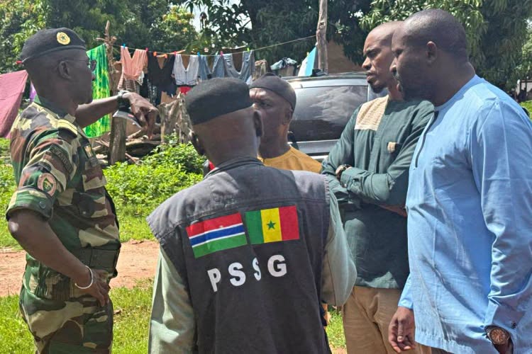
Gambiaj.com – (BANJUL, The Gambia) – The joint Gambia-Senegal Boundary Commission has completed the first phase of a renewed effort to clearly define the international boundary between the two countries, covering nearly 30 kilometers from Dimbaya in Kombo to Kanao in Foni.
The exercise, which has been ongoing for the past six weeks, involved the joint team reaffirming existing colonial boundary pillars, recording their geographical coordinates, and installing new pillars where necessary to make the boundary more clearly defined.
The work is aimed at strengthening border management, preventing future disputes, and supporting continued peace, stability, and good neighborly relations between The Gambia and Senegal.
According to historical records held by the National Centre for Arts and Culture (NCAC), the boundary between the two territories was demarcated between 1889 and 1905, a process that took the British and French authorities about 17 years.
The unusual shape of The Gambia is rooted in that colonial arrangement. Historical accounts indicate that the British sought to retain a corridor of about 10 kilometers on either side of the River Gambia, while the French retained the surrounding territory that became Senegal.
From Trees and Ponds to Permanent Pillars
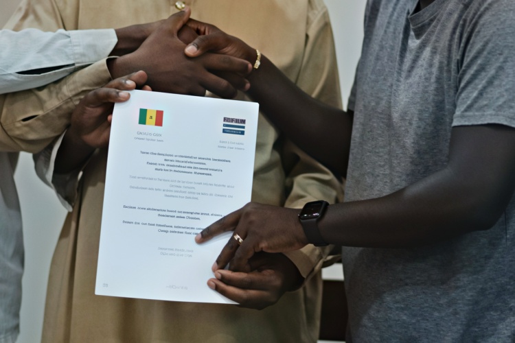
Nine agreements on first 30 km signed. The work to delineate the boundary continues. The first phase has ended.
The original boundary was not initially marked by permanent pillars. Instead, the British and French relied on natural and temporary landmarks, including large trees, ponds, bolongs, and footpaths.
Historical records indicate that by around 1900, the colonial authorities recognized the limitations of those markers. Trees could be uprooted by storms, while ponds could dry up, making the boundary increasingly difficult to identify on the ground.
This led to the decision to establish permanent concrete boundary pillars, with the main pillar-implantation work carried out between 1904 and 1905.
The current demarcation exercise is therefore not creating an entirely new boundary but is helping to reaffirm and clarify the existing one while addressing gaps created by time, environmental changes, and the deterioration or disappearance of some markers.
The NCAC has previously indicated that the original Anglo-French demarcation involved 61 boundary pillars, constructed mainly from cement and stone. The current exercise is also being carried out in stages, including the reaffirmation of existing pillars and the densification of the boundary through additional markers.
Nine Agreements Signed
At the conclusion of the first phase, the joint team signed nine agreements covering different aspects of the work.
The documentation includes reports on densification points, coordinates, and newly installed densification pillars, as well as descriptive records for each colonial-era pillar that has been reaffirmed and each new pillar implanted during the exercise.
The agreements were signed by representatives of both countries and witnessed by the Permanent Senegal-Gambia Secretariat, as well as experts from Ghana and Burkina Faso.
The involvement of the two West African countries reflects the broader regional importance attached to clearly defined international boundaries.
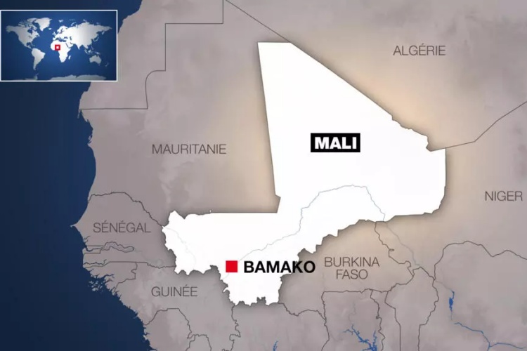
Burkina Faso and Mali fought a border war in 1985, while Ghana and Togo have also experienced tensions linked to their boundary. Such experiences have underscored the importance of clearly documented and mutually accepted borders in preventing disputes from escalating.
The agreements and technical reports will be archived by the two countries as official records of the demarcation process.
Beyond the physical installation and reaffirmation of pillars, the exercise is therefore also creating a permanent documentary record of the boundary, providing future generations with the technical and historical information needed to identify the border and manage potential disputes.
The first phase from Dimbaya to Kanao marks the latest step in a broader effort by The Gambia and Senegal to modernize and strengthen their common boundary while preserving the historical demarcation established more than a century ago.










Leave a Reply