


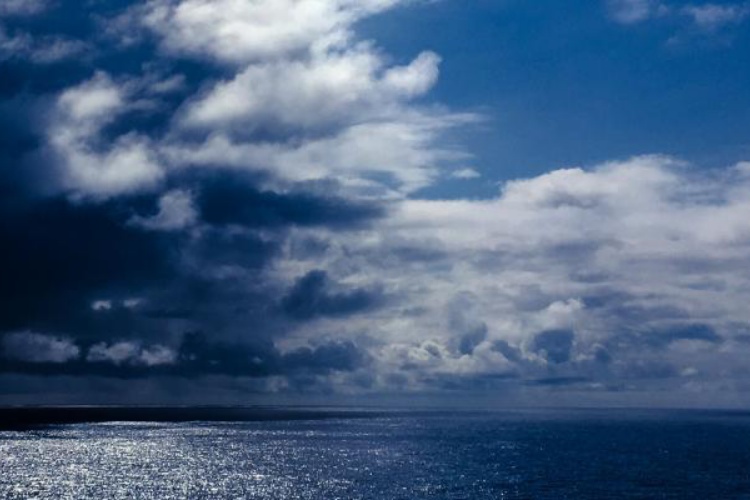
Gambiaj.com – (BANJUL, THE GAMBIA) – A potentially record-strength El Niño event developing in the tropical Pacific is prompting increased attention to global temperature and rainfall patterns, but scientists say its eventual impact on The Gambia will depend on local and regional weather conditions rather than the strength of the Pacific event alone.
The World Meteorological Organization (WMO) said in an update published on 8 October that sea-surface temperatures in the central and eastern tropical Pacific were expected to reach record levels between October and December, with the phenomenon likely to peak around December.
The organisation said the event could rank among the strongest El Niño episodes recorded since at least 1950.
The United States National Oceanic and Atmospheric Administration (NOAA) similarly reported that El Niño was continuing to strengthen, with a strong-to-very-strong event likely to persist through the first quarter of 2027.
For The Gambia, however, the most important question is not simply how strong the El Niño becomes, but how the phenomenon interacts with local weather patterns during the coming dry season.
Why The Gambia Needs A Local Forecast
El Niño is a natural climate pattern caused by changes in the interaction between the tropical Pacific Ocean and atmosphere. It can alter atmospheric circulation far beyond the Pacific, increasing the likelihood of unusual rainfall and temperature patterns in different parts of the world.
But its effects vary significantly from one region to another.
The WMO expects above-average temperatures across large parts of the world during October to December. It also forecasts wetter-than-normal conditions in some regions and drier conditions in others.
In Africa, the contrast is particularly important. Parts of the Greater Horn of Africa are expected to receive above-normal rainfall, while El Niño has historically been associated with drier conditions in parts of Southern Africa.
That means there is no single El Niño weather pattern for the entire continent.
The same caution applies to The Gambia.
The country’s dry season normally becomes established after the end of the rains, with Harmattan conditions bringing dry and dusty air from the Sahara during parts of the cooler months. But the timing, intensity and duration of these conditions vary from year to year.
A strong El Niño, therefore, does not by itself establish that The Gambia will experience an unusually weak Harmattan, prolonged heatwaves or exceptionally warm nights through February 2027.
Such conclusions require country-specific forecasts.
Heat Risk Remains A Concern
The global temperature outlook nevertheless adds another reason for Gambian authorities to monitor conditions closely.
An exceptionally strong El Niño can contribute to changes in the distribution of heat and moisture around the world. Its effects may become particularly important when combined with longer-term global warming and other regional climate drivers.
For communities in The Gambia, periods of unusually high temperatures could have implications for public health, water demand, livestock and electricity consumption.
Farmers and livestock keepers will also need reliable seasonal information to assess how weather conditions could affect water availability and agricultural activities.
The country’s Department of Water Resources, together with regional climate institutions, will therefore be central to determining whether the developing Pacific event has any significant implications for Gambian conditions.
Farmers And Water Managers Face The Biggest Stakes
The importance of early information extends beyond temperatures.
Changes in seasonal weather can affect water supplies, agricultural production and food security. Heavy rainfall in some regions can increase flooding, while prolonged dry conditions elsewhere can damage crops and place additional pressure on already limited water resources.
For The Gambia, where agricultural livelihoods remain closely linked to seasonal rainfall, even relatively modest changes in the timing or distribution of rainfall can have practical consequences.
But the current El Niño forecasts should not be interpreted as a prediction of a particular rainfall outcome for the country.
Scientists emphasize that seasonal forecasts are probabilities, not guarantees. Other atmospheric and oceanic systems can amplify or weaken El Niño’s influence.
A Global Event With Local Consequences
The current event is being closely watched because of its unusual strength.
The International Research Institute for Climate and Society at Columbia University reported on 19 October that the weekly Niño 3.4 sea-surface temperature anomaly had reached 3.3 degrees Celsius above average in mid-October. The WMO expects an average anomaly of about 3.7 degrees Celsius for October to December.
Those figures refer specifically to unusually warm ocean temperatures in a defined region of the Pacific. They do not mean that global air temperatures will rise by the same amount.
The term “Super El Niño” is also widely used to describe exceptionally strong events, although it is not a formal WMO alert category.
For The Gambia, the immediate priority is therefore not to assume the worst, but to strengthen monitoring and make sure communities have access to timely local forecasts.
As the event approaches its expected peak around December, farmers, health authorities, water managers and disaster-response agencies will need to pay particular attention to updated forecasts for temperatures, rainfall, winds and other seasonal hazards.
The developing El Niño may be one of the strongest on record. But for The Gambia, the critical question will be how that global climate signal translates into weather on the ground.









Leave a Reply